Home Page
Kingdom
Index Plant
Index Magnoliopsida
Index Valarianaceae
Index
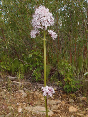
Valeriana capitata Pallas ex Link
19 Photos.
A single-stemmed species of low to high elevations known as the "capitate
Valarian",
"sharpleaf Valarian", and "mountain heliotrope".
ITIS Taxonomic Serial No. 35351
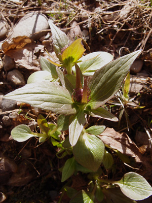
1. May 21, 2008. Two budding plants prior to stem elongation.
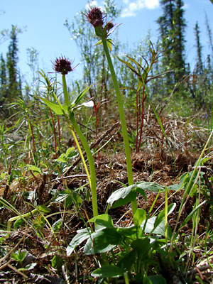 2. June 6, 2007. Two budding plants after stemm elongation. |
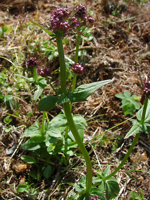 3. June 6, 2007. A different view of the plants in photo 2. |
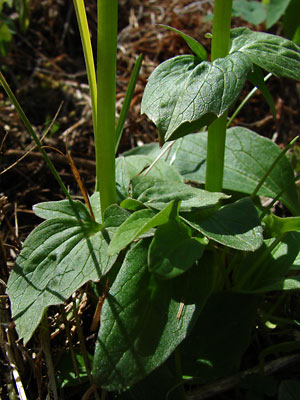 4. June 6, 2007. Base of the plants in photos 2 and 3. |
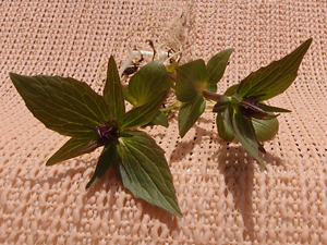
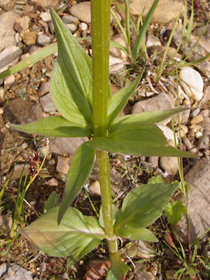
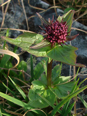 5. June 22, 2008. Terminal cluster in bud along with the upper leaves. |
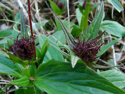
 6. June 6, 2007. Close-up of another terminal cluster in bud. |
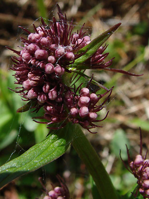
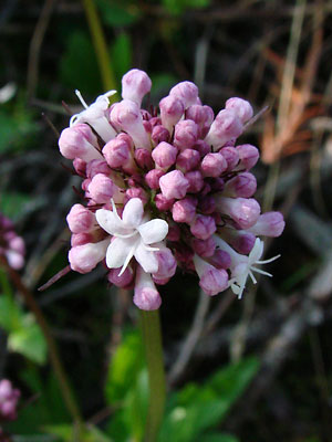 7. June 21, 2009. Close-up of a terminal cluster just beginning to bloom. |
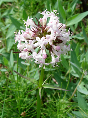
 8. July 11, 2009. Cluster in late bloom Note the capsules and pubescence at the stem node. |
 9. July 11, 2009. Blooming cluster. |
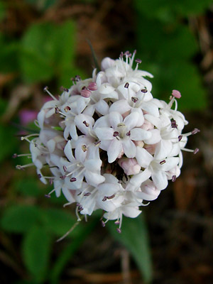 10. June 8, 2007. Another blooming cluster. Note that the anthers are at various stages. |
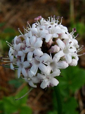 11. June 8, 2007. Slightly different view ot the cluster in photo 10. |
|
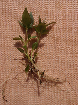 13. May 21, 2012. The two plants in photo 12 removed from soil. |
 14. May 21, 2012. |
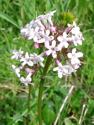
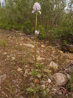 15. June 17, 2012. A plant in bloom. |
 16. June 17, 2012. Upper portion of the plant in photo 15. Note the secondary blossoms on pedicels arising from the axils of the upper stem leaves. |
According to Hultén the capitate This may be occurring in photo 16, in
|
 17. June 17, 2012. Lower section of the plant in photos 15 and 16. |
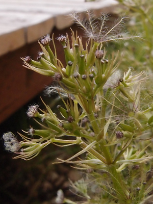 18. July 8, 2012. Inflorescence in seed. |
|
Photos 1-4, 6, 7, 10 and 11-19 Photo 5 taken between mileposts 1 and 2 Photos 8 and 9 taken in a ravine near |
|