Home Page
Kingdom
Index Plant
Index Magnoliopsida
Index Scrophulariaceae
Index
15 photos.
Both an alpine and lowland species known as "fernweed", "Sudeten
lousewort" or "Sedetic lousewort".
The species is tall and leafy at lower elevations. Four of the five
subspecies are found in Alaska.
Pedicularis sudetica Willd. has been moved to the family Orobanchaceae
according the
ITIS
Standard Report for Taxonomic Serial No.33357.
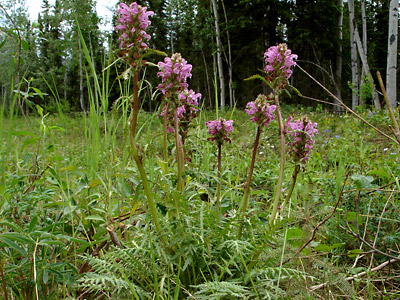
1. Early June. A long-stemmed leafy lowland plant with pale-pink
inflorescences.
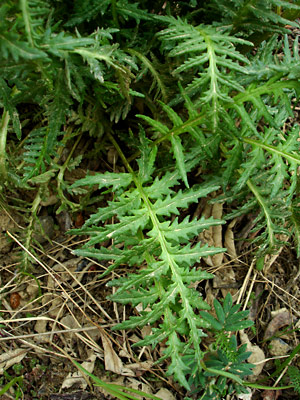
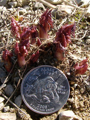 2. Mid-May. Sprouting alpine stems. |
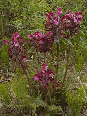
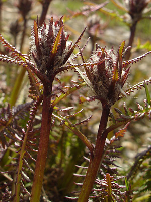 3. Early June. Two alpine flower heads prior to blooming |
 4. Late June. A three-stemmed lowland plant with woolly flower heads prior to blooming. |
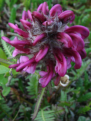
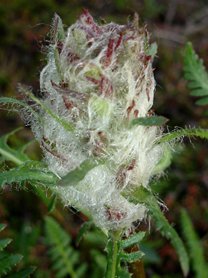 5. Late June. Close-up of one of the woolly flower heads in photo 4. |
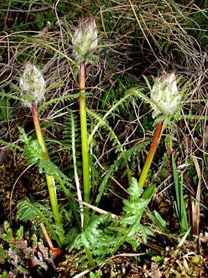
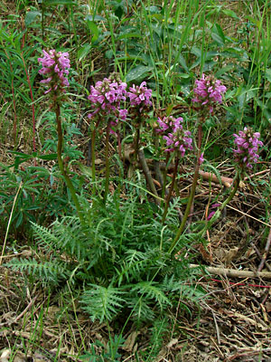 6. Early June. A multi-stemmed lowland plant. |
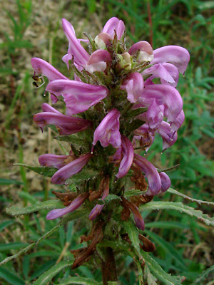 7. Early June. Late stage inflorescence of a lowland plant. |
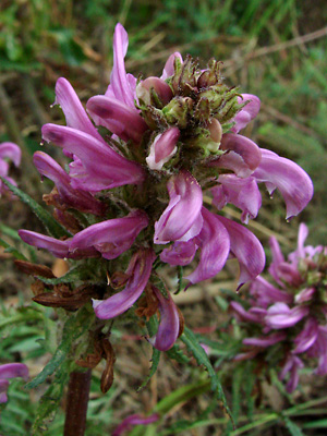 8. Early June. Possibly the same inflorescence seen in photo 7 but from a higher angle. |
 9. Mid-June. High-angle view of an alpine inflorescence. |
|
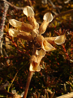 11. Late May. The remains of an alpine flower head from a previous year. |
|
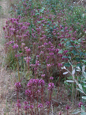 13. June 15, 2009. A large group of lowland plants. |
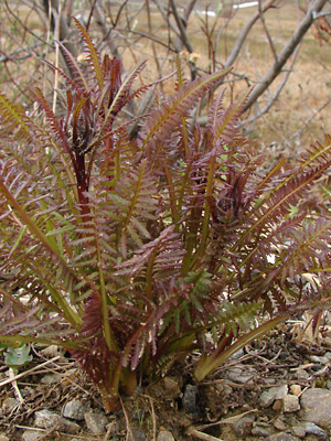
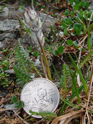 14. July 11, 2009. An upland plant in the woolly stage prior to blooming. Compare to photo 4. |
|
Photos 1, 4-8 and 10 taken at 6.5 mile Photos 2, 11, 12 and 15 taken on Eagle Photos 3, 9 and 14 taken on the Central Photo 13 taken at 7.5 mile Circle
|
Photo 15 taken on Eagle Summit at the Pinnell trailhead road. 65° 29.03' N, 145° 24.52' W Elev. 3600 ft. |
||