Home Page
Kingdom
Index Plant
Index Magnoliopsida
Index Scrophulariaceae
Index
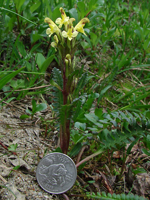
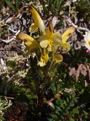
Pedicularis oederi Vahl ex Hornem
14 photos.
"Oeder's lousewort" or the "crimson-tipped lousewort"
is an alpine species found in the Alps, Norway and Alaska.
The upper lips of the yellow flowers have brown to red tips and sometimes
two additional red spots giving
rise to one of the common names. Pedicularis oederi Vahl
ex Hornem. has been moved to the family Orobanchaceae
according the
ITIS Standard Report for Taxonomic Serial No. 33356.
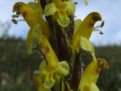
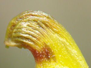
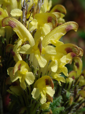
1. Probably mid-June. Close-up of several blossoms showing the
pubescent filaments supporting the two anthers.
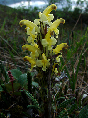 2. Mid-June. Upper stem with blossoms. The red spots are more pronounced in the lower blossoms. |
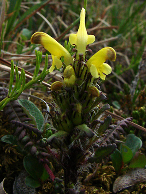 3. Mid-June. Similar plant to the one in photo 2, however this plant has leaves with a dark red rachises with dark reddish-gray pinnae. |
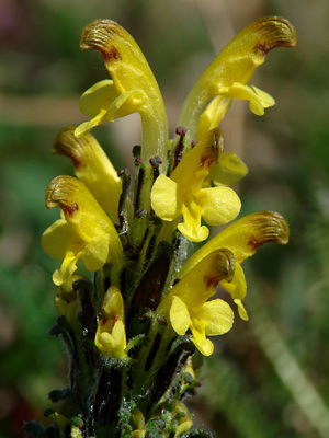 4. Mid-June. Another upper stem with blossoms having distinct brownish-red spots. |
 5. Mid-June. Close-up of the upper left blossom of the plant in photo 4. |
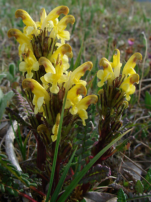 6. Late June. A cluster of three plants. |
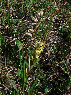 7. Late June. A single plant with the remains of a plant from a previous year. |
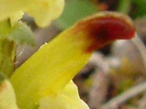 8. Early July. A crimson tip. Also a blurry photo. |
|
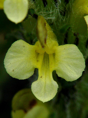 10. July 11, 2009. Looking down the throat of a blossom from the plant in photo 11. |
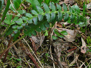 11. July 11, 2009. A basal leaf from the plant in photo 11. |
 12. June 8, 2009. Close-up of an upper stalk in full bloom. |
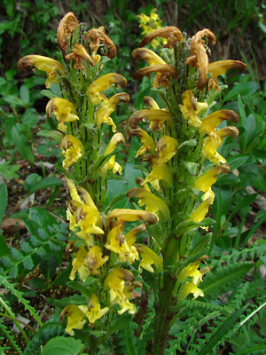 13. A pair of stalks dying from the top down. |
|
|
Photo 1, 9-11 and 13 taken in a ravine Photos 2, 3, 7 and 8 taken on the Photos 4 and 5 taken in the saddle between Photo 6 taken at approximately 3 mile
|
Photo 12 taken on the south side of the Photo 14 taken at approximately 27
|