Home Page
Kingdom
Index Plant
Index Magnoliopsida
Index Scrophulariaceae
Index
Pedicularis labradorica Wirsing
17 photos.
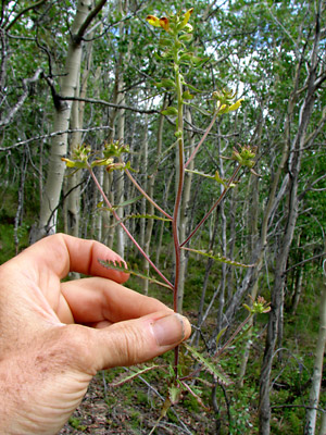
A usually branched species known as the "labrador lousewort".
Pedicularis labradorica
Wirsing has been moved to the family Orobanchaceae according the
ITIS
Standard Report for Taxonomic Serial No. 33379.
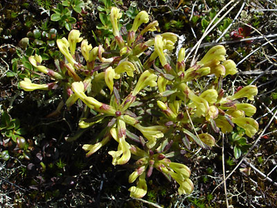
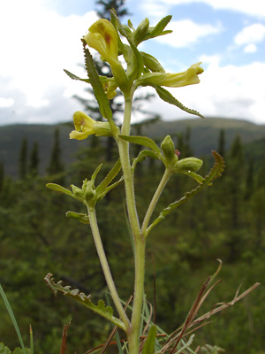
1. Early July. Top view of a highly branched plant with
typical yellow flowers and green leaves.
 2. May 20, 2009. A sprouting plant. |
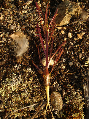 3. Late May. Entire sprouting plant showing the taproot. |
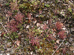
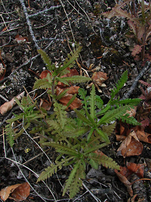 4. Late May. Green-leaved, multi-stemmed plant with red-leaved plants to the right and above right. |
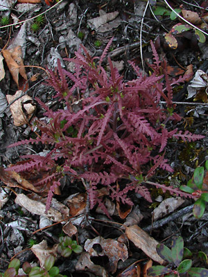 5. Late May. A red-leaved, multi-stemmed plant which was within 3 feet of the green-leaved, multi-stemmed plant in photo 4. |
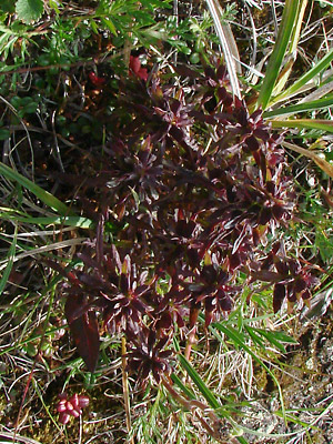
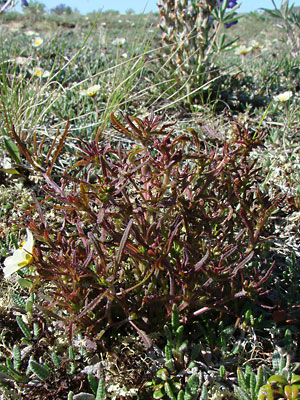 6. Mid-June. A multi-stemmed plant. with reddish-brown leaves. |
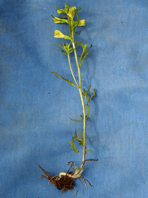 7. Mid-June. A single-stemmed branched plant with root. |
 8. Mid June. Tip of the stem of a single-stemmed, branched plant. Note the buds. |
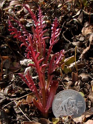
 9. Late June. Another single-stemmed, branched plant with root. Lower stem is red and flowers are tinged red. |
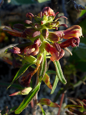 10. Mid-June. A highly colored blossom cluster on a branched, green-leaved plant. |
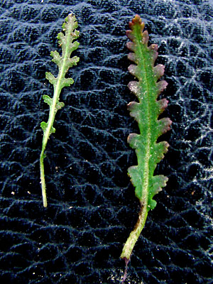 11. Late June. Leaves of green-leaved plant. Left: upper leaf. Right: lower leaf. |
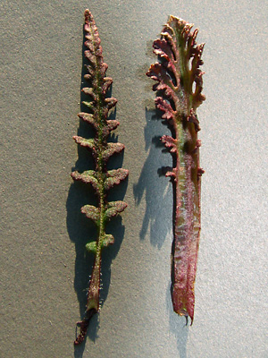 12. Mid June. Leaves of brown-leaved plant. Left: upper leaf. Right: lower leaf. |
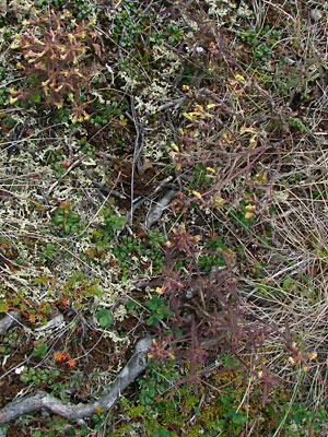 13. Late June. Several brown-leaved, multi-stemmed plants. |
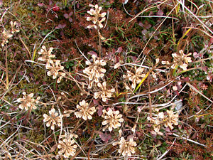 14. Early September. A multi-stemmed plant gone to seed. |
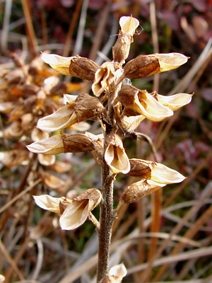 15. Early September. Close-up view of the capsules after seed expulsion. |
|
|
Photo 1 taken on Pinnell Mountain Photos 2, 3, 10, 12 and 16 Photos 4 and 5 taken on a hillside Photo 6 taken 1.5 miles northeast
|
Photos 7, 8, 11 and 13 taken Photo 9 taken along Upper Bottom Photos 14 and 15 taken on Photo 17 taken at 1.5 mile Pinnell |