Home Page
Kingdom
Index Plant
Index Magnoliopsida
Index Scrophulariaceae
Index
Pedicularis capitata M.F. Adams
15 photos.
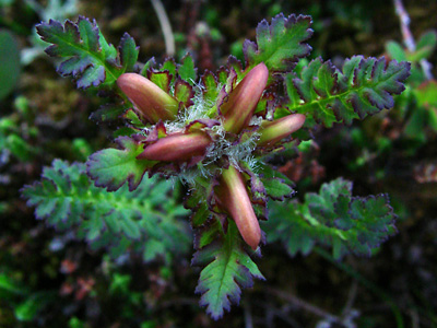
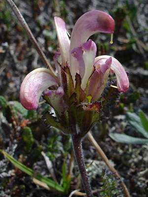
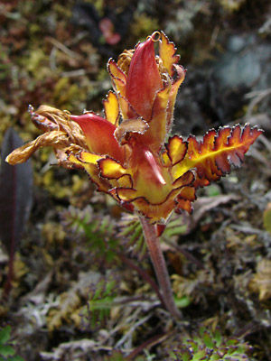
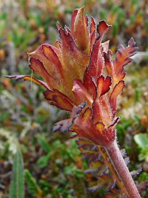
A small higher elevation species known as the "capitate lousewort".
In recent years this
species has exhibited more color than previously. Pedicularis
capitata M.F. Adams
has been moved to the family Orobanchaceae according to the
ITIS
Standard Report for Taxonomic Serial No. 33353
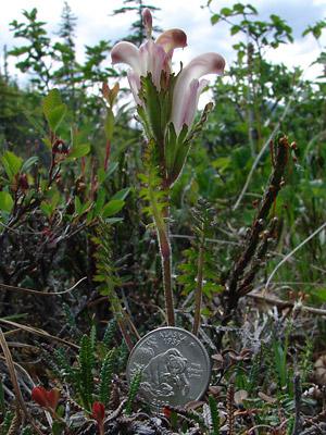
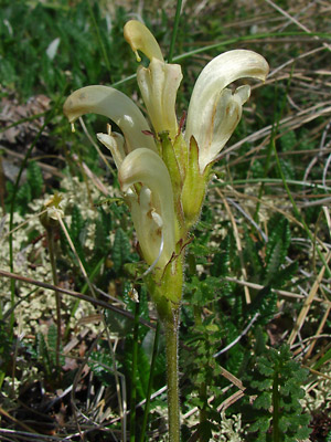
1. Mid-June. Top view of a young plant. Note the color
of the leaf and
calyx-lobe margins on this and following plants.
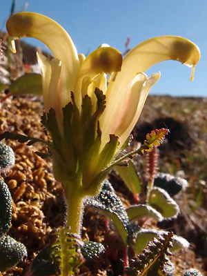
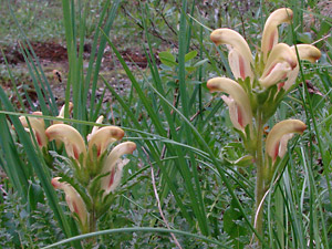
 2. Early July. A single pale yellow plant. This was the typical color of the species until around 2005. |
 3. Late June. Another relatively colorless plant |
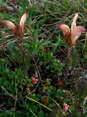
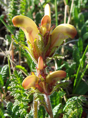 4. Mid-June a pair of plants, deep yellow with traces of orange extending to the leaflike calyx lobes. |
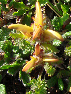 5. Top view of the plants in photo 4. |
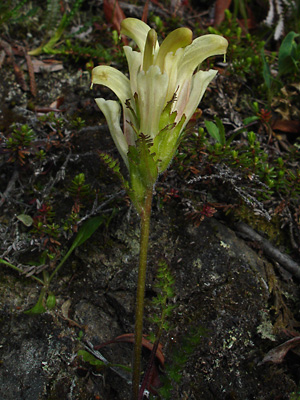
 6. Early July. A single pale yellow plant with traces of red. |
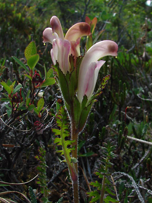
 7. Similar to photo 6 but with even more red. |
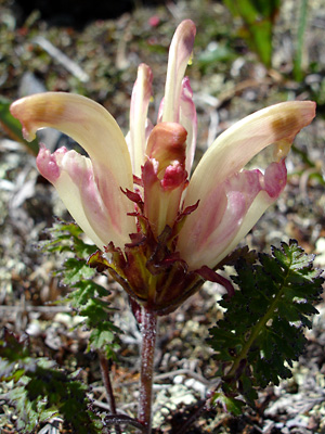
 8. Late June. Another pair of highly colored plants. |
|
 10. June 12, 2009. Close-up of the blossom in photo 9 showing the stamens within the hood. |
 11. July 11, 2009. Several plants having blossoms with red markings on the upper lips. Two of the plants have blossoms lower down on the stem than usual. |
 12. July 29, 2009. A plant with mature capsules. Note the color change. |
 13. July 29, 2009. Top view of the plant in photo 12. |
 14. July 29, 2009. Similar to photo 12. |
|
Photos 1, 3and 4 taken on a ridge just east Photo 2 and 11taken in a ravine near Photo 3 taken on a ridge 2 miles Photos 6 and 7 taken above the Pinnell
|
Photo 8 taken above the Pinnell taken on the Photos 12-14 taken above the Pinnell Photo 15 taken on the Central
|
||