Home Page
Kingdom
Index Plant
Index Magnoliopsida
Index Saxifragaceae
Index
Saxifraga bronchialis ssp. funstonii
(Small) Hultén
13 photos.
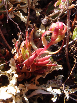
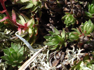
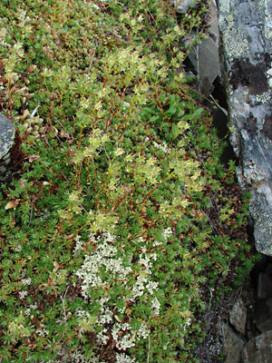
A small often matted species of higher elevations known as the "spotted
saxifrage", "matted saxifrage", "yellow-dot,
saxifrage" or "Funston's saxifrage". ITIS indicates
that four (cherlerioides, codyanus, funstonii,
and vespertina) of the
five subspecies are found in Alaska. GBIF shows locations in the state
for specimens identified by subspecies for
ssp. funstonii and cherlerioides (Aleutian Islands only).
Hultén shows only funstonii and cherlerioides and
indicates
that funstonii has clawed petals. FNA recognizes ony two
subspecies with only funstonii being found in Alaska.
ITIS Taxonomic Serial No. 24218
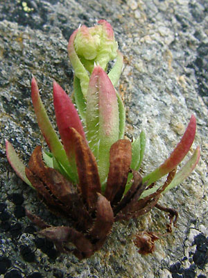
1. Early July. Basal leaves from a portion of a mat.
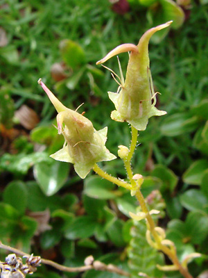
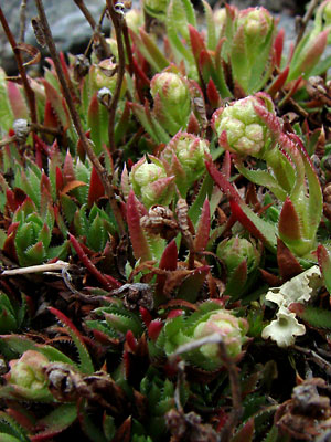 2. Early June. Several plants in the bud stage. |
|
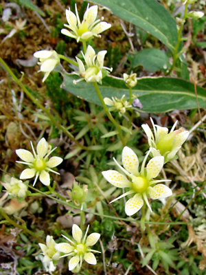
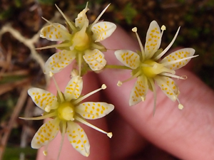
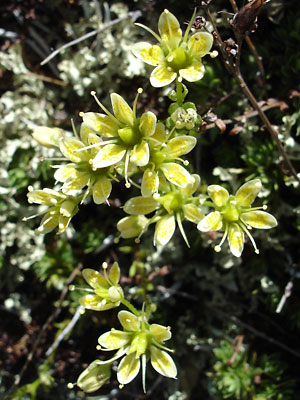 4. Early July. A group of blossoms. Note that the twin styles of the lower and upper blossoms have formed. |
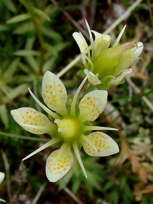
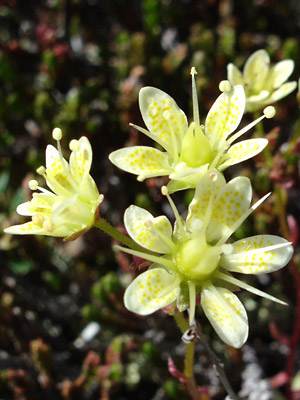 5. Early July. Close-up top view of some of the flowers in photo 4. |
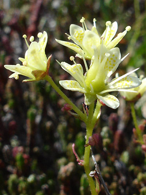 6. Early July. Side view. |
|
 8. July 11, 2009. A pair of blossoms. The anthers have dropped off of the filaments. |
 9. July 29, 2009. A large group of plants with developing capsules. |
 10. July 29, 2009. Close-up of a pair of developing capsules. Note some of the filaments are still present. |
|
|
|
 13. July 6, 2013. Close-up of three blossoms. |
Photos 1, 4-6 and 13 taken on the Central Photos 2, 3, 9 and 10 taken along the Pinnell Photos 7 and 8 taken on Eagle Summit on the Photos 11and 12 taken on the southwest
|
||