Home Page
Kingdom
Index Plant
Index Magnoliopsida
Index Polygonaceae
Index
Bistorta plumosa (Small) Greene
Bistorta officinalis Delarbre
Polygonum bistorta L.
15 photos.
An alpine species commonly known as "pink plumes", "bistort",
"snakeroot" or "snakeweed".
ITIS Taxonomic Serial No. 823771
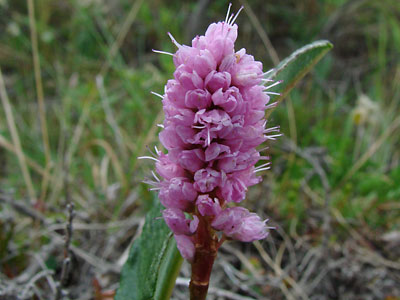
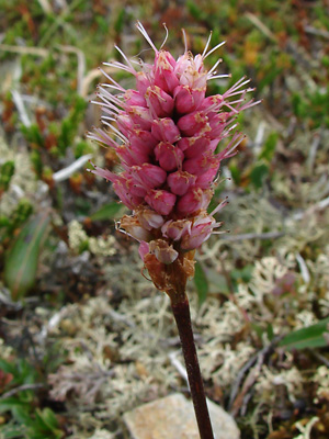
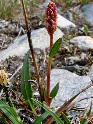
1. Early June. Flowers at apex of spike. At full bloom
the anthers will be black.
 2. Late June. Stem with spike in bud with basal and stem leaves. |
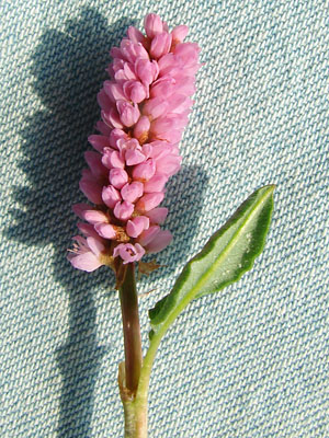
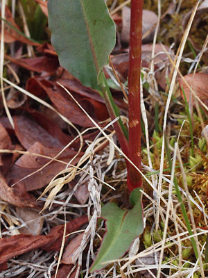
 3. Late June. Stem of tall plant with a stem leaf which appears to have a sheath. |
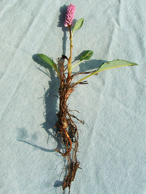
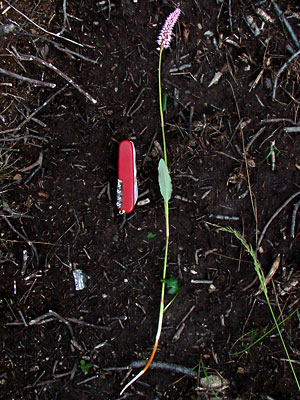
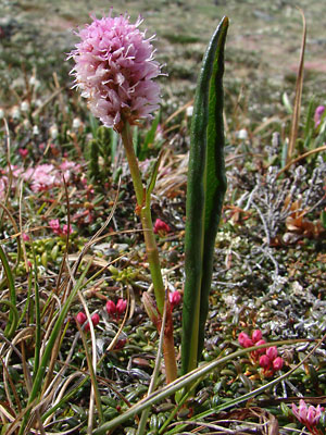 4. Late June. Plant with long basal leaf. Note the jointed stem. |
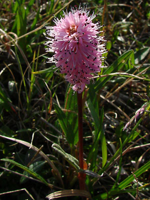 5. Mid-June. Spike in full bloom with black anthers. |
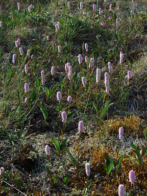 6. Late June. A group of plants. Note variation in shape of blossom cluster. |
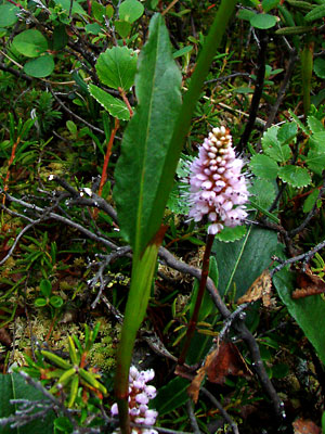
 7. Late June. Stem with basal leaf, two stem leaves and terminal spike. |
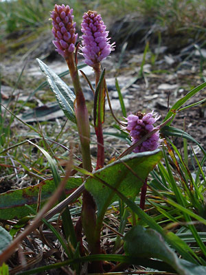 8. Early July. Plants with buds and blossoms at various stages. Note the broad basal leaf. |
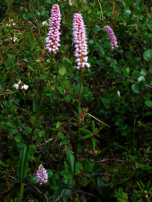 9. Late June. Several stems having elongated terminal spikes with buds and blossoms at various stages. |
|
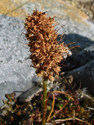 11. July 29, 2009. Inflorescence in seed. |
|
|
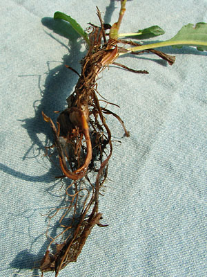 14. June 8, 2010. Base of plant in photo 12. |
 15. May 30, 2010. Basal leaves and lower stem. |
Photos 6, 8 and 15 taken on Eagle Summit Photo 10 taken on Eagle Summit on the Photo 11 taken near
|
Photo 1 and 12-14 taken on the Central Photos 2 and 4 taken near Photos 3, 7 and 9 taken on a mountain Photo 5 taken taken on a ridge just east |
|
|