Home
Page Kingdom
Index Plant
Index Magnoliopsida
Index Polygonaceae
Index
Aconogonon alaskanum (W. Wight ex Harshb.) Soják
Aconogonon alpinum (All.) Schur
Polygonum alpinum All.
21 photos.
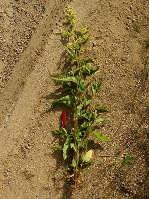
The "Alaska wild rhubarb", "alpine knotweed" or "alpine
smartweed" is tall stately weed found
along roadsides and disturbed streambeds.
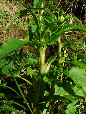
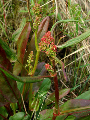
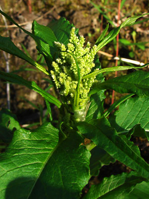
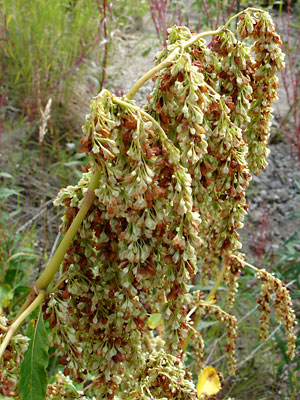
 1. Mid June. A plant in bloom. |
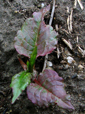 2. Late June. A plant just after sprouting before the leaves have turned green. |
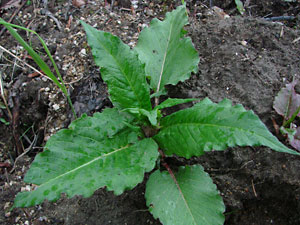 3. Late June. Basal Leaves. |
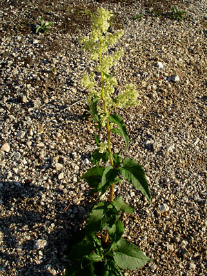
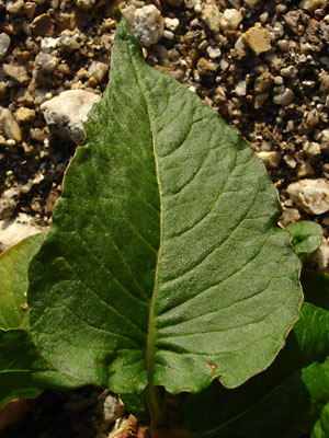 4. Mid-June. Large broad basal leaf. |
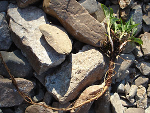 5. Mid-June. Young plant with basal leaves and long taproot. |
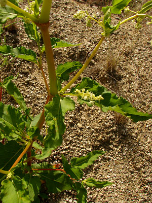
 6. Mid-June. Panicle of young plant in bud stage. |
 7. Late June. Panicle at very early stage before elongation. |
|
|
 10. Late June. Two entire plants except for taproots. Photos 11-15 are also of parts of these plants. |
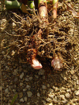 11. Late June. Root section with broken taproots. |
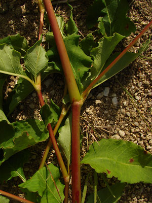 12. Late June. Stem showing joints and branching |
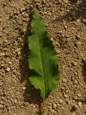 13. Late June. Front side of a single leaf. |
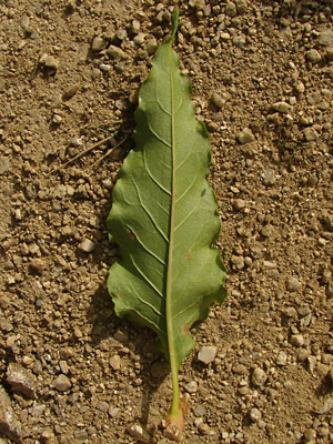 14. Late June. Back side of the same leaf. |
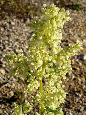
 15. Late June. Upper section of a panicle. Note the linear leaves. |
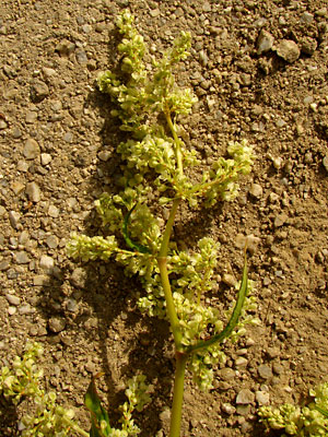
 16. Mid-June. Upper section of a panicle. |
 17. Early August. Panicle tip beginning to dry. |
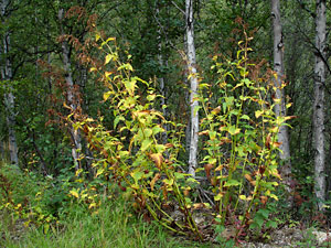 18. Mid-August. Several dying plants. |
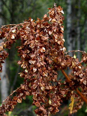 19. Mid August. Dried panicle tip. |
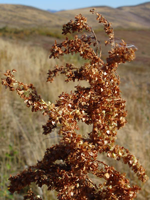 20. Early September. Another dried panicle tip. |
|
Photos 1, 4 and 16 taken on the Ketchem Rocks. Photos 2, 3 and 5-8 near upper Half Dollar Photos 9-15 and 17 taken along Upper Bottom Photos 18 and 19 taken between 3 mile Photo 20 taken on the Central |
||