Home
Page Kingdom
Index Plant
Index Magnoliopsida
Index Grossulariaceae
Index
17 photos.
This species of roadsides, rocks, woods and swamps produces a red berry
and is known as the "northern red currant",
"American red currant" or "red swamp currant".
While very tart, the berry makes a good jelly.
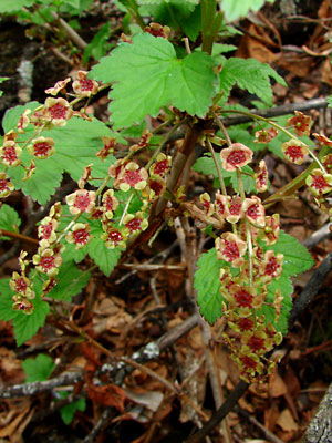
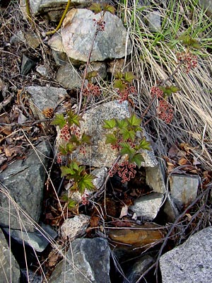 1. Early June. A blooming plant with fairly well developed leaves. |
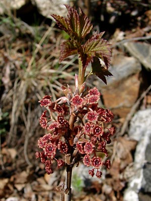 2. Late May. Blossoms just above the woody old growth, The leaves are part of the new growth which later in the season will consist of an elongated stem and fully developed, long-petioled leaves. |
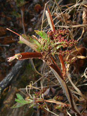
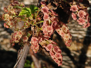
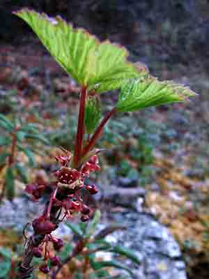 3. Blossoms, buds and leaves with thick petioles. |
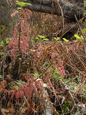
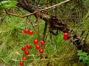 4. Berries in loose clusters hanging from peeling, woody old growth with the long, somewhat reddish-petioled leaves on the smooth new growth. |
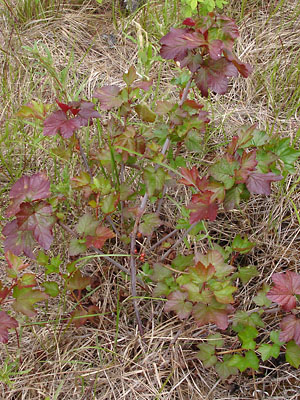
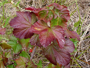
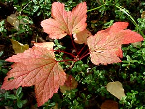 5. Leaves with long, thin, scarlet petioles beginning to assume fall color. |
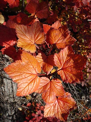 6. Leaves in brilliant, red-orange, fall color. |
|
|
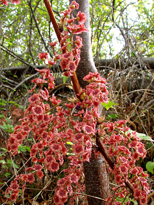 9. May 28, 2009. Close view of a stem with a large number of blossoms. |
 10. May 28, 2009.Flower clusters with leaves. Note the exterior ovaries in various stages of development and the structure of the peduncles. |
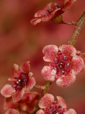 11. May 21, 2009. Close-up of a few blossoms. |
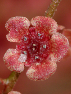 12. 100% view of photo 11. |
 13. May 28, 2009. Leaves and blossoms with petals having a lighter color than usual. Note the clusters have already expanded. |
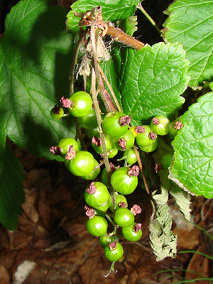 14. June 15, 2009. A cluster of green berries. |
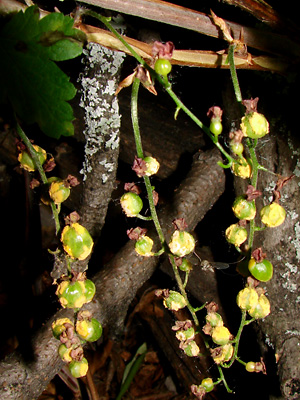 15. June 15, 2009. Four berry clusters infested with a fungus. I found no berries in this area that managed to survive long enough to turn red. |
|
|
Photos 1 and 2 taken along Upper Bottom Photo 3 taken on a hillside Photo 4 taken near a lake north Photo 5 taken in the woods above the Photo 6 taken near 5.2 mile |
Photos 15 and 16 taken 0.5 miles south
|
||