Home
Page Kingdom
Index Plant
Index Magnoliopsida
Index Fumariaceae
Index
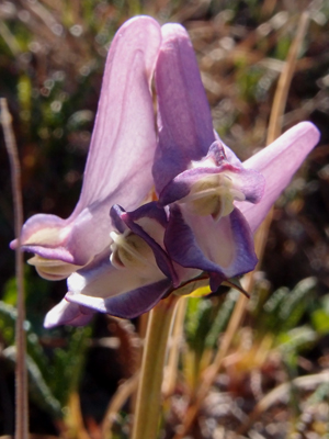
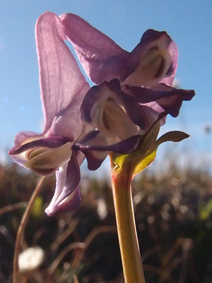
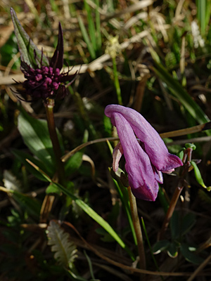
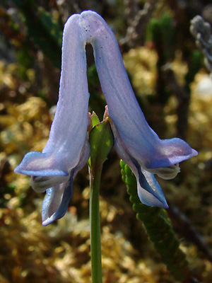
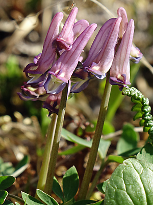
Corydalis pauciflora (Steph.) Pers.
13 photos.
A high country species favoring moist areas known as the "few-flowered
Corydalis" or "fewflower fumewort".
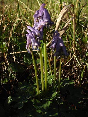 1. Mid-June. Possibly a single plant with multiple flower stalks. |
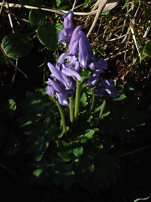 2. Mid-June. Different view of plant(s?) in photo 1. |
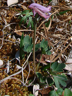
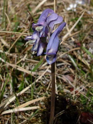 3. Early June. Single stem with terminal cluster of typical blue-purple blossoms. |
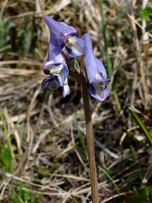 4. Early June. Different view of cluster in photo 3. |
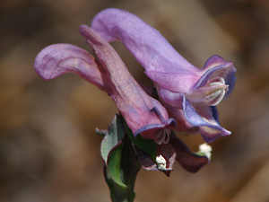
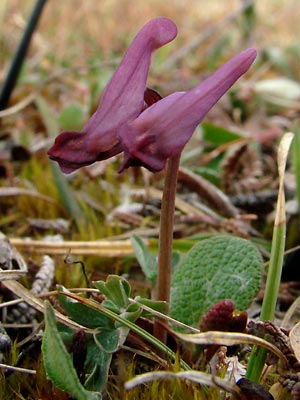 5. Early June. Single stem with terminal cluster of unusual, unopened red-purple blossoms. |
 6. Early June. Different view of cluster in photo 5. |
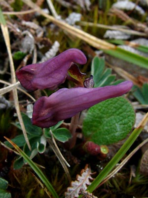
 7. June 8, 2009. Another plant with reddish-purple blossoms. |
 8. June 8, 2009. Close-up of the blossoms in photo 7. |
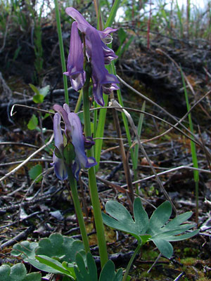 9. June 12, 2009. Plants with slightly different colored blossoms, the upper being bluish -purple and the lower being blue. |
 10. June 12, 2009. Close-up of a blue blossom. |
|
|
|
 14. June 15, 2016. Still another color variation with prominant veins. |
Photos 1-6 taken on Eagle Summit Photos 7-8 taken on the south side of Photos 9-10 taken on the right limit |
Photo 13 taken on the west side of Photo 14 taken on Mastodon Creek
|
||