Home
Page Kingdom
Index Plant
Index Magnoliopsida
Index Ericaceae
Index
Rhododendron groenlandicum (Oeder) Kron &
Judd
Ledum groenlandicum Oeder
18 photos.
This common plant is known as "bog Labrador tea" or "rusty
Laborador tea"and is
common troughout the area.
 1. Mid April. Leaves drooping, this group of plants await the coming of warm weather. This group has exceptionally broad leaves. |
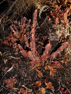
 2. Mid April. Plant with brown leaves and buds just showing signs of activity. |
 3. Mid April. Close-up of underside of leaves in winter color. |
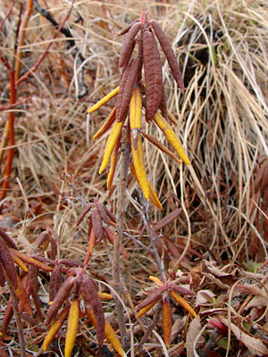
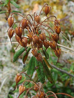 4. Late May. Plant with green leaves and open capsules from the previous year. |
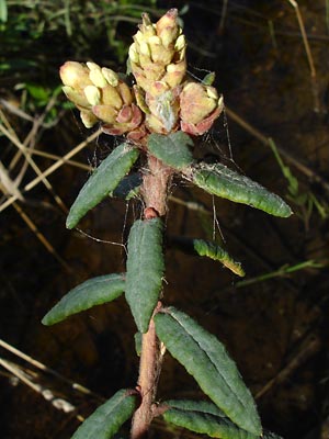
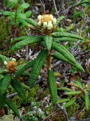
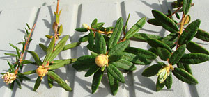
 5. Mid-June. Wide-leaved plant with a flower bud. |
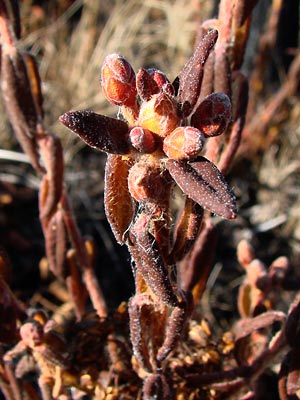
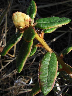
 6. Mid-June. Flower bud on left and an opening leaf bud on the right. |
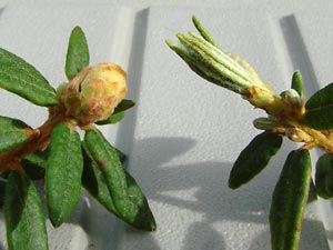
 7. Early June. Flower bud just beginning to open. |
 8. Mid-June. Flower bud farther along. |
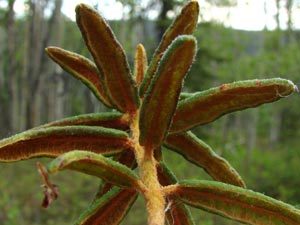 9. Mid-June. Underside of leaves, note the hairy stem. |
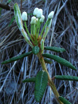 10. Late June. Flower buds with pedicels. |
 11. Mid-June. Blossoms. Identity not positive, leaves may be narrow enough to be L. palustre. |
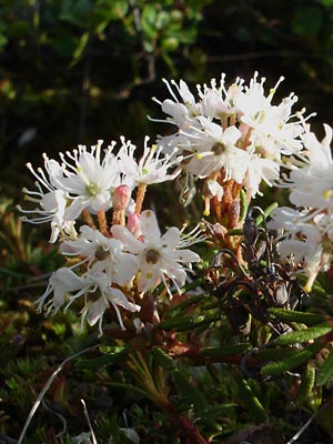
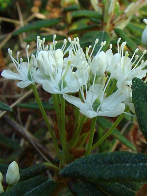 12. Late June. Blossoms. |
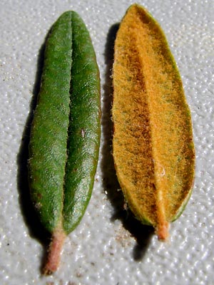 13. Mid-June. Leaf views. |
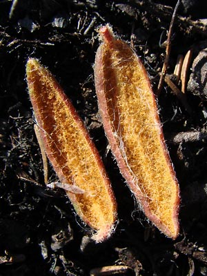
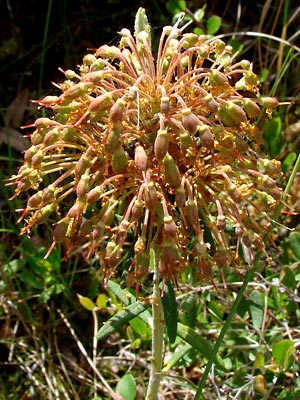 14. Early July. Capsules developing. |
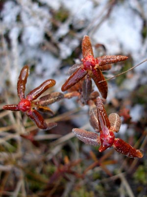 15. Mid-October. Stems in fall colors and covered with ice. |
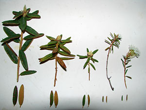 16. Mid-June. Sprigs and leaves from five plants. The three on the left are from L. groenlandicum, the two on the right are from L. palustre. |
 17. Mid-June. Similar but a top view with L. palustre on the left and 3 of L. groenlandicum on the right. |
|
Photos 1, 5, 8 and 9 taken along Upper Photos 2, 3 ,11and 18 adjacent to a thaw Photos 4, 6, 10, 12, 13, 16 and 17 |
Photo 7 taken at 133.6 mile Photo 14 taken in a bog next to a thaw Photo 14 taken adjacent to the |
|