Home Page
Kingdom
Index Plant
Index Magnoliopsida
Index Diapensiaceae
Index
Diapensia obovata (F. Schmidt) Nakai
Diapensia lapponica var. obovata F. Schmidt
17 photos.
This is the "pincushion plant" or "Lapland Diapensia"
a dwarf perennial evergreen shrub which may live over 100 years.
ITIS
Taxonomic Serial No. 512231
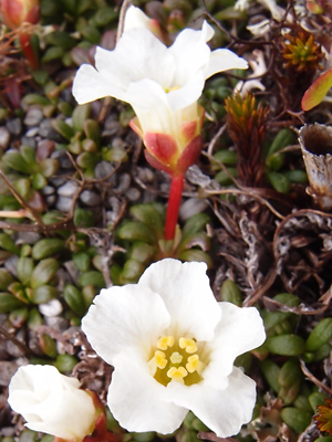
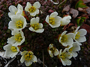
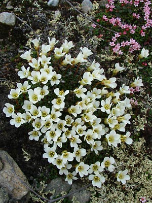
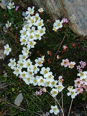
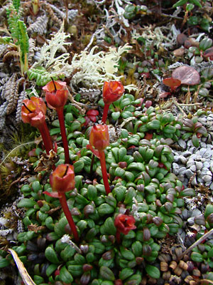
1. Early June. A group of plants in full bloom.
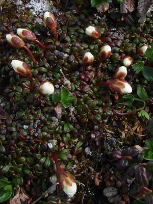 2. Late June. A group of plants in the bud stage. |
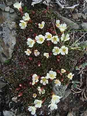 3. Early June. A group of plants with buds and blossoms. |
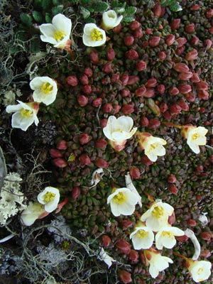 4. Early June. Similar to photo 3 but closer. |
 5. Early June. A pincushion in full bloom. Loiseleuria procumbens in Background. |
 6. Late June. Similar to photo 5, again with Loiseleuria procumbens. |
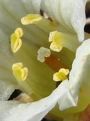
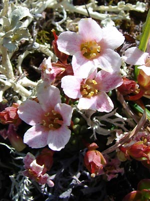 7. Mid-June. Blossoms which have turned pink with age |
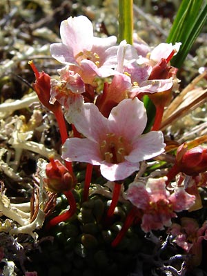 8. Profile view of blossoms in photo 7. |
|
 10. July 11, 2009. A small group of plants which have finished blooming. |
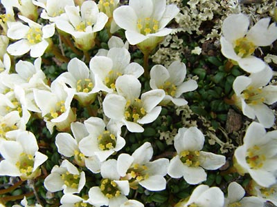
 11. July 29, 2009. Close-up view of another group of plants. |
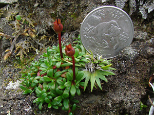
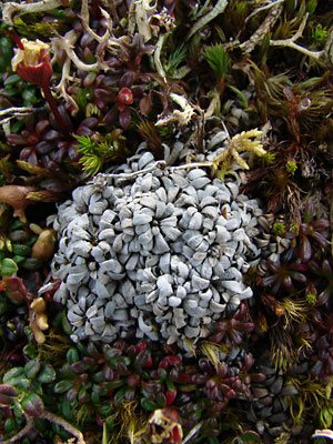
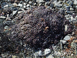 12. April 28, 2009. A "pin-cushion" mat of plants in winter garb. |
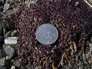 13. April 28, 2009. Another small mat with leaves beginning to turn red. |
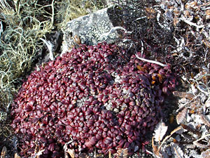 14. April 28, 2009. Another mat with red leaves many of which will turn green. |
 15. July 29, 2009. A section of a bloomed-out mat with red and green leaves and some kind of infestation. |
|
|
Photos 1, 5 and 17 taken on Central Photos 2 and 6 taken along the Photos 3 and 4 taken 1.5 miles northeast Photos 7 and 8 taken in the saddle between Photo 9 Photo 8 taken on a ridge 1.3 miles north |
Photo 10 taken in a ravine west of Photo 11and 15 taken above the Pinnell Photos 12-14 taken southwest of Eagle
|