Home Page     Kingdom Index      Plant Index    Magnoliopsida Index      Asteraceae Index


Petasites frigidus (L.) Fries

15 photos.
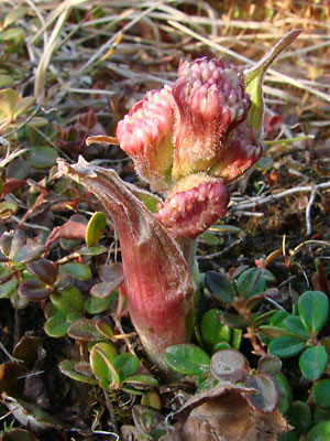
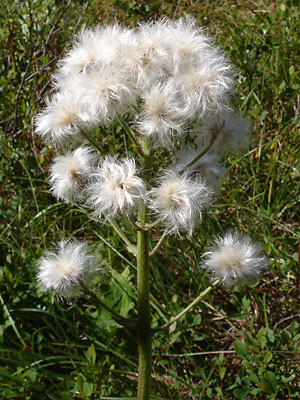
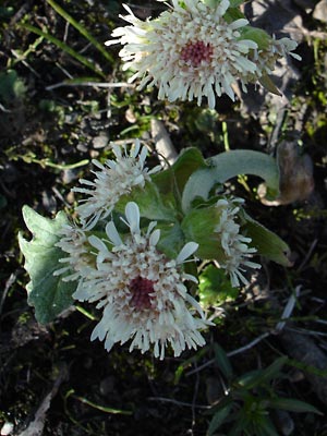
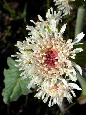
The "arctic sweet coltsfoot" or "frigid coltsfoot".  There are two varieties in Alaska.
After the plant has bloomed, the long-petioled basal leaves appear and the stem elongates.

ITIS Taxonomic Serial No. 36054


1.  Late May.  Blossoms.


2.  Late May.  Blossoms.


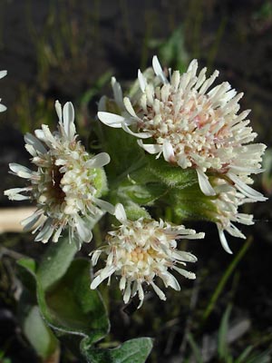
3.  Late May.  Blossoms.


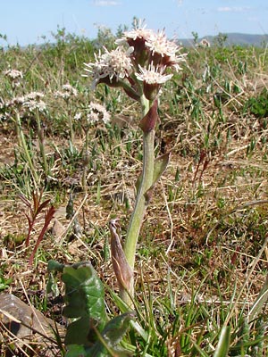
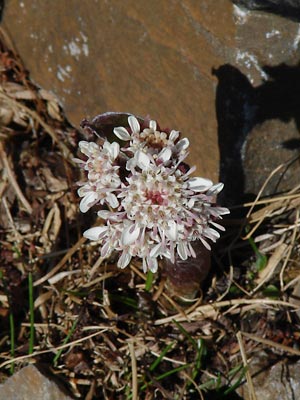
4.  Mid-June.  Blossoms.


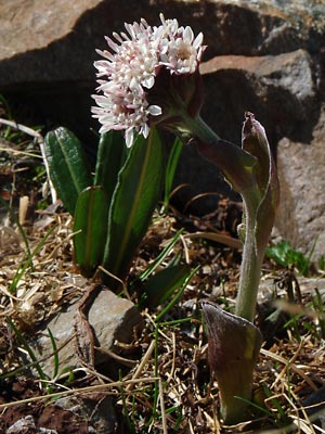
5.  Mid-June.  Young plant.


6.  Mid-June.  Young plant


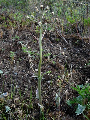
7.  Early June.  Seeding.


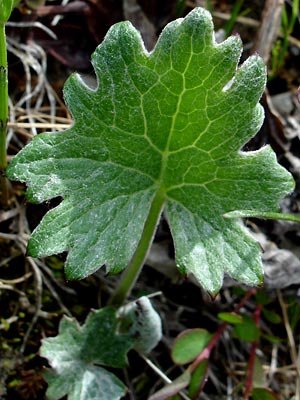
8.  Early June. Basal leaf arising from
creeping rootstock.


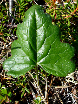
9.  Late June.  Shiny basal leaf.


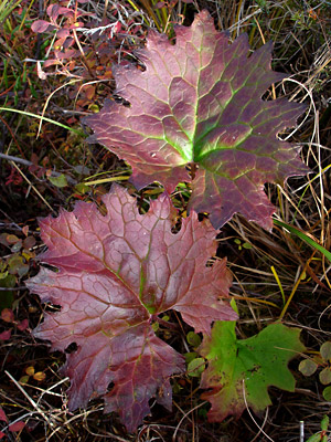
10.  Late August.  Leaf with fall color.


11. May 21, 2009.   Sprouting plant.


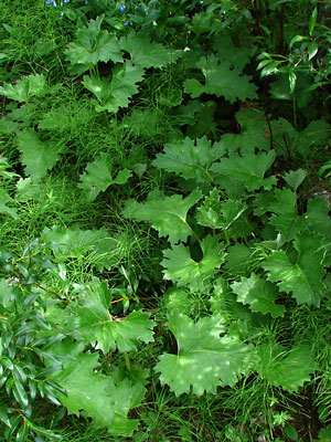
12.  July 11, 2009.  A group of large(12+ in) leaves.


13.  June 22, 2010.  Upper stalk with
seeds ready for dispersal.


14.  June 13, 2011.  Blooming stem with
leaves along the creeping rootstock.
The leaf doesn't usually appear this early.


15.  June 13, 2011.  Creeping rootstock with
leaves.


Photos 1-3 taken in ditch at 132 mile
Steese highway.
65°  35.4' N,   144°  40.9' W
Elev. 900 ft.

Photos 4-5 taken on a ridgeline
southeast of Eagle summit.
65°  28.144' N,   145°  21.121' W
Elev. 4000 ft.

Photos 7 and 8 taken at 134.7 mile
Steese highway.
65°  36.2' N,   144°  34.7'  W
Elev. 900 ft.

Photo 9 taken 5 miles southeast of
Portage summit.
65°  24.921' N,   144°  41.781'  W
Elev. 2700 ft.


Photo 10 taken on a mountainside above
Half Dollar creek, south of Portage
summit.
65°  24.9' N,   144°  44.8' W
Elev. 2600 ft.

Photo 11 taken on the trail to the thaw
lake south of 134 mile Steese
Highway
65° 35.81' N, 144° 36.72' W
Elev. 900 ft.

Photo 12 taken in a ravine west of
Twelvemile Summit.
65° 23.6' N, 145° 58.8' W
Elev. 2900 ft.

Photo 13 taken along Upper Bottom
Dollar Road.
65°  25.2' N,   144°  48.5' W
Elev. 1900 ft.

Photos 14 and 15 taken along Upper
Half Dollar creek.
Latitude: N 65° 25' 30.001"
Longitude: W 144° 45' 56.86"
Altitude: 624.03 m.