Home
Page Kingdom
Index Plant
Index Magnoliopsida
Index Adoxaceae
Index
Viburnum edule (Michx.) Raf.
15 photos.
Known as the "high-bush cranberry", "cramp bark", "mooseberry"
and "squashberry" this plant bears
odiferous berries with flat seeds. Species is equally at home in rocky,
wooded hillsides and
wooded floodplains. The species is also referred to as "low-bush cranberry"
although that name is
commonly used for Vaccinium vitis-idaea, the "lingonberry",
in Alaska. To make matters worse,
the lowland plant is a tall bush, while the highland plant tends to be a
short bush.
ITIS Taxonomic Serial No. 35261
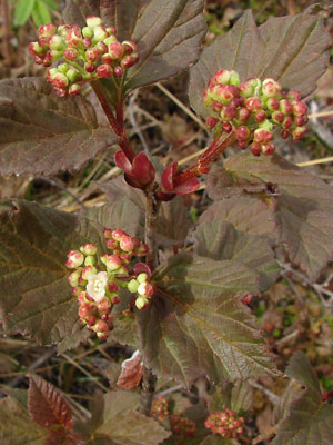
1. Mid-June. Upper stem, leaves, buds and blossoms.
 2. Mid-June. Close-up of buds and leaves. |
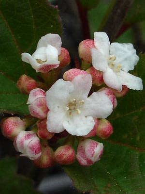 3. Mid-June. Close-up of bud-blossom cluster. |
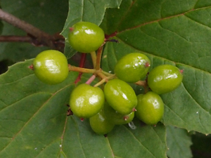
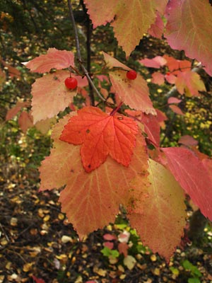 4. Early September. Mature berries and leaves in fall color. Note the variation in the leaves. Leaf on top of similar "cranberry" leaf is a "red currant", Ribes triste, leaf. |
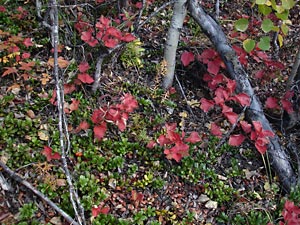 5. Early September. Many small bushes among Populus tremuloides. |
|
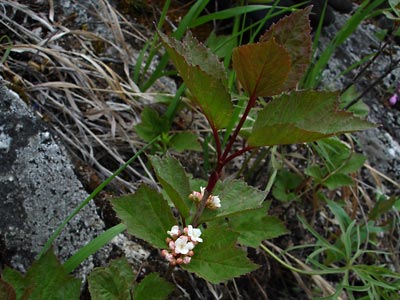
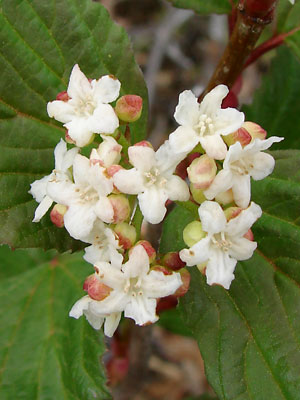
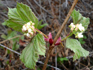 7. May 28, 2009. New growth with buds and blossoms. Note the red bud scales and the red bud which has not yet opened. |
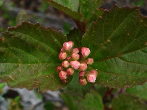
 8. May 28, 2009. A terminal cyme with blossoms and buds. |
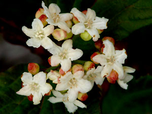 9. May 28, 2009. Similar to photo 8. |
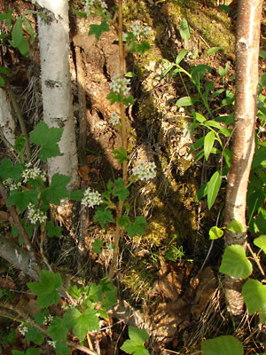 10. June 4, 2009 A plant growing among birch trees. |
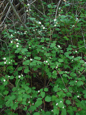 11. June 4, 2009. Alarge group of plants. |
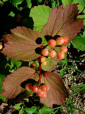 12. July 12, 2009. Ripening fruits with leaves of various colors in the background. |
|
14. August 25, 2011. A closer view of one of the plants in photo 13. |
|
Photos 1-3 taken along Upper Bottom Photos 4 and 5 taken above the Photos 6-9 taken on the Hillside Photos 10 and 11 taken on the southwest
|
Photo 12 taken above Circle Photos 13 and 14 taken along Circle Photo 15 taken at the
|
||